
Vaizdas:Estonia adm location map.svg

Didesnės raiškos iliustracija (SVG rinkmena, formaliai 1 666 × 1 484 taškų, rinkmenos dydis: 349 KiB)
| Ši byla yra iš bendros Wikimedia Commons nemokamų resursų duomenų bazės, palaikomos Wikimedia Foundation organizacijos. Norėdami sužinoti licencijavimo smulkmenas, žiūrėkite paveikslėlio aprašymą |  |
Į paveikslėlio aprašymą |
Aprašymas
| Aprašymas |
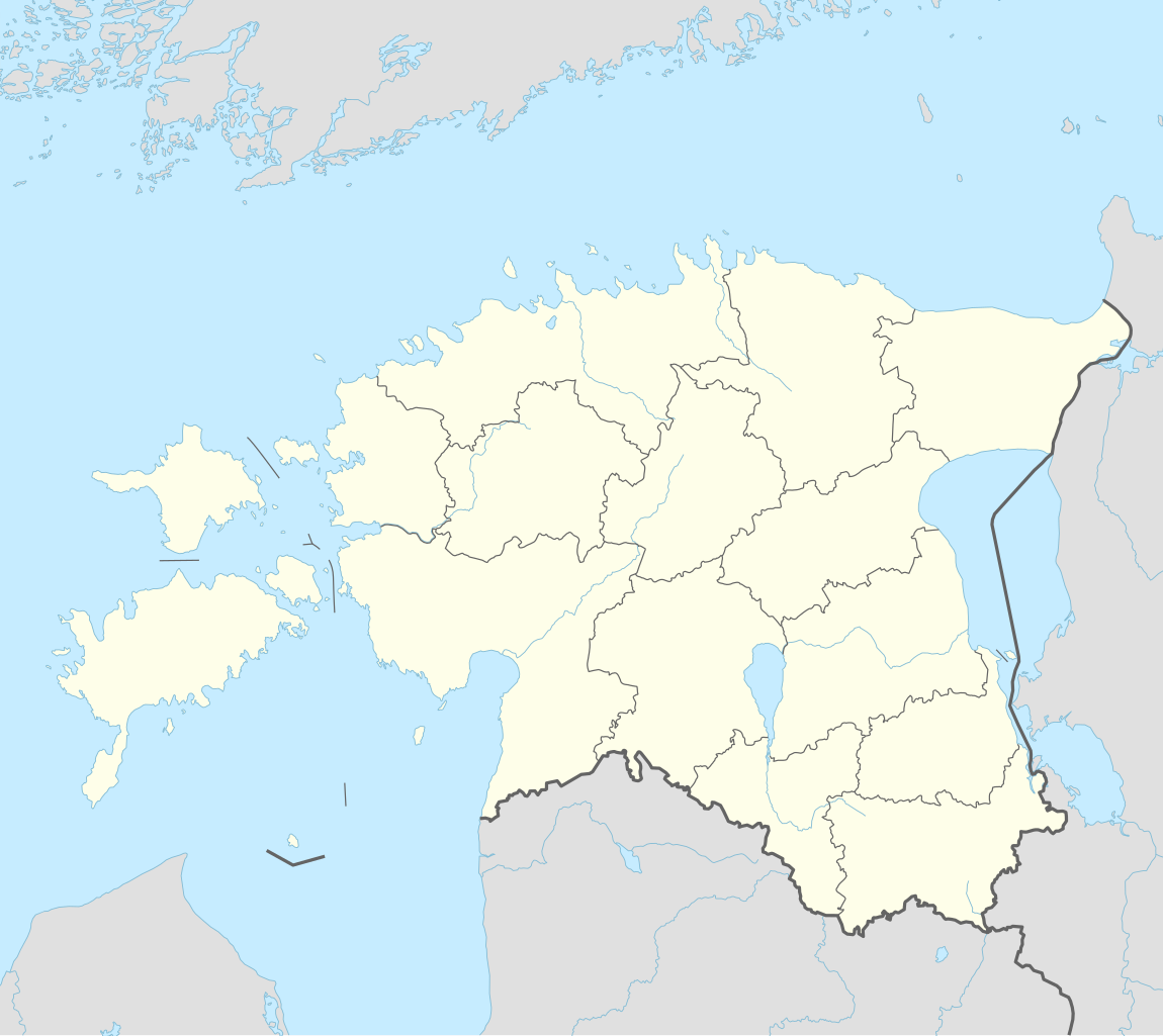
Deutsch: Positionskarte von Estland
English: Location map of Estonia
|
||||||||||||
| Data | |||||||||||||
| Šaltinis |
Own work using:
|
||||||||||||
| Autorius | NordNordWest | ||||||||||||
| Kitos versijos |
|
||||||||||||
_location_map.svg)

|
This map has been made or improved in the German Kartenwerkstatt (Map Lab). You can propose maps to improve as well.
|
Licencija
Usage of this file with:

explanatory notes: Legally binding is only the full legalcode. For a free usage I recommend to respect the following licence conditions:
1. Provide my name as given above: NordNordWest,
2. a copy of, or the URI for, the applicable license: https://creativecommons.org/licenses/by-sa/3.0/de/legalcode,
3. the title of the work,
4. in the case of an adaptation, a credit identifying the use of the work in the adaptation.
This license and the rights granted hereunder will terminate automatically upon any breach by you of the terms of this license. Any of the above conditions can be waived if you get permission from the copyright holder. If you have questions or wish differing conditions, please contact me through nnwest or my discussion page ![]() t-online.de
t-online.de
- Jūs galite:
- dalintis – kopijuoti, platinti bei persiųsti šį darbą
- pri(si)taikyti – adaptuoti darbą
- Su šiomis sąlygomis:
- autoriaus nurodymas – Turite pateikti atitinkamą kreditą, pateikti nuorodą į licenciją ir nurodyti, ar buvo atlikti pakeitimai. Tai galite padaryti bet kokiu būdu, bet ne taip, kad licencijos išdavėjas patvirtintų jus ar jūsų naudojimą.
- dalinkis panašiai – Jei perdirbsite, redaguosite ar atkursite šį darbą, jį galėsite platinti tik su tokia pačia ar panašia į šią licencija.

Rinkmenos istorija
Paspauskite ant datos/laiko, kad pamatytumėte rinkmeną tokią, kokia ji buvo tuo metu.
| Data/Laikas | Miniatiūra | Matmenys | Naudotojas | Paaiškinimas | |
|---|---|---|---|---|---|
| dabartinis | 21:27, 26 kovo 2022 | | 1 666 × 1 484 (349 KiB) | NordNordWest | upd |
| 20:17, 8 lapkričio 2017 |  | 1 666 × 1 391 (346 KiB) | NordNordWest | corr | |
| 17:05, 5 lapkričio 2017 |  | 1 666 × 1 391 (346 KiB) | NordNordWest | upd | |
| 20:19, 24 rugsėjo 2014 |  | 1 666 × 1 391 (348 KiB) | NordNordWest | == {{int:filedesc}} == {{Information |Description= {{de|1=Positionskarte von Estland}} {{en|1=Location map of Estonia}} {{Location map series N |stretching=180 |top=60.4 |bottom=57.2 |left=21.5 |right=28.4 }} |Source={{Own using}} * United States Natio... |
Paveikslėlio naudojimas
Daugiau nei 100 puslapių naudoja šią rinkmeną. Šis sąrašas rodo tik pirmus 100 puslapių, naudojančių šį failą. Yra pasiekiamas ir visas sąrašas.
- Abja Paluoja
- Aegvydu
- Agusalu rezervatas
- Alamo-Pedjos rezervatas
- Antsla
- Arukiula
- Aseris
- Elva
- Emastė
- Haljala
- Hapsalu
- Hedemėstė
- Hulas
- Iluka
- Iru elektrinė
- Jegeva
- Jehvis
- Kalastė
- Kanepis
- Karksi Nuja
- Karulos nacionalinis parkas
- Kehra
- Keila
- Keina
- Keo
- Kerdla
- Kihelkona
- Kilingi Nemė
- Kivielis
- Kohtla Jervė
- Kohtla Jervės elektrinė
- Kristynė
- Kunda
- Kuresarė
- Kysa
- Kysos elektrinė
- Laekverė
- Lahemos nacionalinis parkas
- Lelė
- Lihula
- Lindžio rezervatas
- Loksa
- Mardu
- Matsalu nacionalinis parkas
- Meisakiula
- Merjama
- Murakos rezervatas
- Mustla
- Mustvė
- Narva
- Narva Jeesū
- Narvos HE tvenkinys
- Narvos elektrinės
- Otepė
- Paidė
- Paldiskis
- Pehjos-Kervemos rezervatas
- Peltsama
- Pelva
- Pernu
- Pihlos-Kaibaldžio rezervatas
- Piusis
- Porkunis
- Rakverė
- Ranapungerja
- Rapla
- Repina
- Reugė
- Ristis
- Saku
- Sauė
- Semerpalu
- Silamejė
- Simuna
- Sindis
- Somos nacionalinis parkas
- Sūre Janis
- Tabiverė
- Tahkunos rezervatas
- Talinas
- Tamsa (Estija)
- Tamsalu
- Tapa
- Tartu
- Terva
- Tiūris
- Valga
- Valma
- Varbola
- Vehma
- Veike Marja
- Veiverė
- Vendra
- Veru
- Vesus
- Viljandis
- Vilsandžio nacionalinis parkas
- Virtsu
- Viru Nigula
- Vydumegio rezervatas
Žiūrėti daugiau nuorodų į šį failą.
Visuotinis rinkmenos naudojimas
Ši rinkmena naudojama šiose viki svetainėse:
- Naudojama als.wikipedia.org
- Naudojama an.wikipedia.org
- Naudojama ar.wikipedia.org
- Naudojama ast.wikipedia.org
- Naudojama azb.wikipedia.org
- Naudojama az.wikipedia.org
Žiūrėti visuotinį šios rinkmenos naudojimą.