
Vaizdas:Confederation of the Rhine (1812).svg

Rinkmenos SVG peržiūros PNG dydisː 450 × 456 taškų. Kitos 5 rezoliucijos: 237 × 240 taškų | 474 × 480 taškų | 758 × 768 taškų | 1 011 × 1 024 taškų | 2 021 × 2 048 taškų.
Didesnės raiškos iliustracija (SVG rinkmena, formaliai 450 × 456 taškų, rinkmenos dydis: 611 KiB)
| Ši byla yra iš bendros Wikimedia Commons nemokamų resursų duomenų bazės, palaikomos Wikimedia Foundation organizacijos. Norėdami sužinoti licencijavimo smulkmenas, žiūrėkite paveikslėlio aprašymą | .svg?uselang=lt) |
Į paveikslėlio aprašymą |
Aprašymas


.svg)
.svg)
.svg)
.svg)
.svg)


.svg)
.svg)
.svg)


.png)
.png)


.svg)


.svg)

.svg)


.svg)
.svg)
.svg)
.svg)


.svg)
.png)


.svg)


.svg)
.svg)


.svg)


.svg)


.svg)
.svg?uselang=lt)
.svg)
.svg)
.svg)
.svg)
.svg)
.svg)
.svg)
_cropped.svg)
.svg)
.svg)
.svg)
.svg)
.svg)
.svg)
.svg)
.svg)
.svg)
.svg)
.svg)
.svg)
.svg)
.svg)
.svg)
.svg)
.svg)
.svg)
.svg)
.svg)
.svg)
.svg)
.svg)
.svg)
.svg)
.svg)
.svg)
.svg)
.svg)
.svg)
.svg)
.svg)
.svg)
.svg)
.svg)
.svg)
.svg)
.svg)
.svg)
.svg)
.svg)
.svg)
.svg)
.svg)
.svg)
Rinkmenos istorija
Paspauskite ant datos/laiko, kad pamatytumėte rinkmeną tokią, kokia ji buvo tuo metu.
| Data/Laikas | Miniatiūra | Matmenys | Naudotojas | Paaiškinimas | |
|---|---|---|---|---|---|
| dabartinis | 17:59, 5 sausio 2018 | | 450 × 456 (611 KiB) | TRAJAN 117 | +++ |
| 18:35, 3 spalio 2013 |  | 450 × 456 (607 KiB) | Alphathon | Added constituent states | |
| 21:34, 30 liepos 2012 |  | 450 × 456 (464 KiB) | Alphathon | Fixed some principalities | |
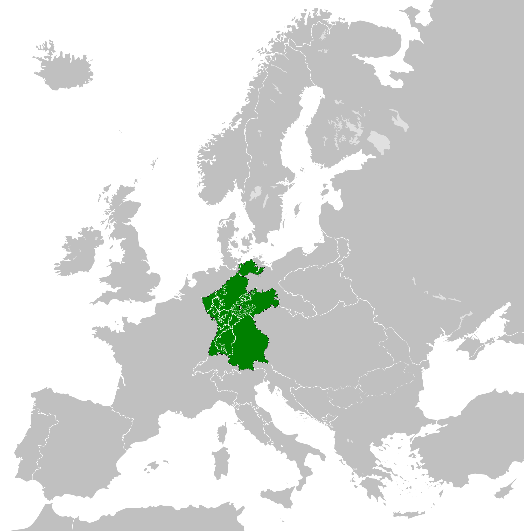
| 20:07, 23 vasario 2012 |  | 450 × 456 (444 KiB) | TRAJAN 117 | {{Information |Description ={{en|1=The Confederation of the Rhine in 1812.}} |Source ={{own}} {{AttribSVG|First French Empire 1812.svg|Alphathon}} |Author =25px '''[[User:TRAJAN 117|TRAJAN 1... |
Paveikslėlio naudojimas
Paveikslėlis yra naudojamas šiuose puslapiuose:
Visuotinis rinkmenos naudojimas
Ši rinkmena naudojama šiose viki svetainėse:
- Naudojama ast.wikipedia.org
- Naudojama azb.wikipedia.org
- Naudojama be.wikipedia.org
- Naudojama cs.wikipedia.org
- Naudojama da.wikipedia.org
- Naudojama de.wikipedia.org
- Naudojama el.wikipedia.org
- Naudojama en.wikipedia.org
- Naudojama es.wikipedia.org
- Naudojama eu.wikipedia.org
- Naudojama fi.wikipedia.org
- Naudojama gd.wikipedia.org
- Naudojama gl.wikipedia.org
- Naudojama he.wikipedia.org
- Naudojama hr.wikipedia.org
- Naudojama hu.wikipedia.org
- Naudojama id.wikipedia.org
- Naudojama it.wikipedia.org
- Naudojama ja.wikipedia.org
- Naudojama ko.wikipedia.org
- Naudojama lv.wikipedia.org
- Naudojama mk.wikipedia.org
- Naudojama mn.wikipedia.org
- Naudojama ms.wikipedia.org
- Naudojama pl.wikipedia.org
- Naudojama pt.wikipedia.org
- Naudojama ru.wikipedia.org
- Naudojama sco.wikipedia.org
- Naudojama sk.wikipedia.org
- Naudojama sl.wikipedia.org
- Naudojama sv.wikipedia.org
- Naudojama th.wikipedia.org
- Naudojama tr.wikipedia.org
- Naudojama www.wikidata.org
- Naudojama zh-yue.wikipedia.org
- Naudojama zh.wikipedia.org
.svg)