
Vaizdas:1850 Mitchell Map of Arabia, Persia, Afghanistan - Geographicus - Arabia-mitchell-1850.jpg
Didesnės raiškos iliustracija (3 500 × 2 865 taškų, rinkmenos dydis: 2,77 MiB, MIME tipas: image/jpeg)
| Ši byla yra iš bendros Wikimedia Commons nemokamų resursų duomenų bazės, palaikomos Wikimedia Foundation organizacijos. Norėdami sužinoti licencijavimo smulkmenas, žiūrėkite paveikslėlio aprašymą |  |
Į paveikslėlio aprašymą |
| Pavadinimas |
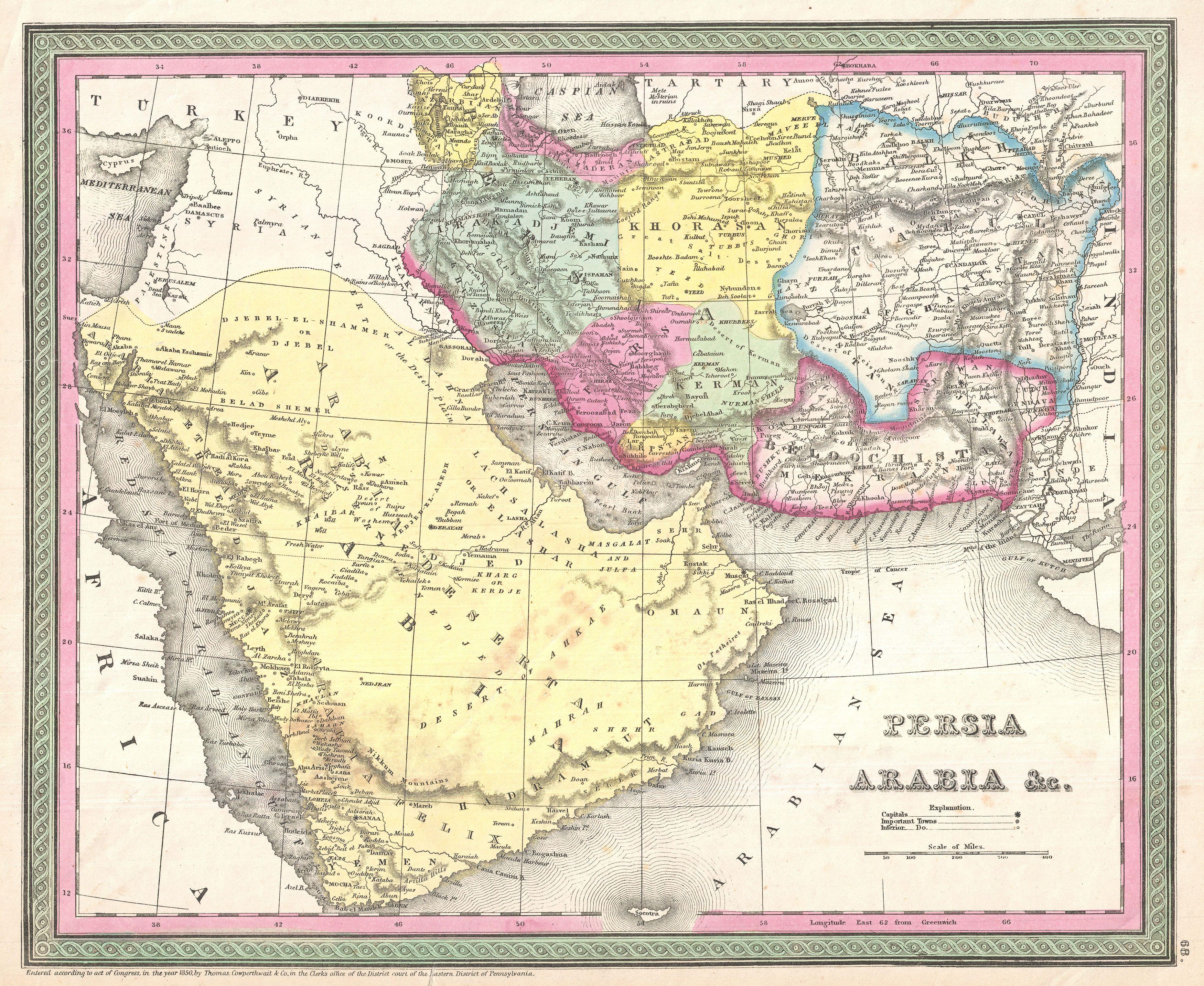
Persia, Arabia & C. |
|||||||||||||||||||
| Description |
English: A fine example of S. A. Mitchell Sr.'s important c. 1850 map of Arabia, Persia, and Afghanistan.
|
|||||||||||||||||||
| Data | (dated) | |||||||||||||||||||
| Šaltinis |
Mitchell Sr., S. A.,A New Universal Atlas Containing Maps of the various Empires, Kingdoms, States and Republics Of The World. (1850 issue)
|
|||||||||||||||||||
| Kūrėjas |
|
|||||||||||||||||||
| Leidimas (Šios rinkmenos panaudojimas kitur) |
|
|||||||||||||||||||
| Georeferencing | If inappropriate please set warp_status = skip to hide. | |||||||||||||||||||
| Archival data | ||||||||||||||||||||
| Leidimo numeris |
Geographicus link: Arabia-mitchell-1850 |
|||||||||||||||||||
| Matmenys | aukštis: 12,5 in (31,7 cm); plotis: 15,5 in (39,3 cm) | |||||||||||||||||||
| Kitos versijos | ||||||||||||||||||||

|
Rinkmenos istorija
Paspauskite ant datos/laiko, kad pamatytumėte rinkmeną tokią, kokia ji buvo tuo metu.
| Data/Laikas | Miniatiūra | Matmenys | Naudotojas | Paaiškinimas | |
|---|---|---|---|---|---|
| dabartinis | 00:45, 24 kovo 2011 | | 3 500 × 2 865 (2,77 MiB) | BotMultichillT | {{subst:User:Multichill/Geographicus |link=http://www.geographicus.com/P/AntiqueMap/Arabia-mitchell-1850 |product_name=1850 Mitchell Map of Arabia, Persia, Afghanistan |map_title=Persia, Arabia & C. |description=A fine example of S. A. Mitchell Sr.'s |
Paveikslėlio naudojimas
Paveikslėlis nenaudojamas nei viename straipsnyje.
Visuotinis rinkmenos naudojimas
Ši rinkmena naudojama šiose viki svetainėse:
- Naudojama fa.wikipedia.org
- ویکیپدیا:نگارههای برگزیده/نقشه
- درگاه:خراسان/نگاره برگزیده
- ویکیپدیا:گزیدن نگاره برگزیده/فوریه-۲۰۱۴
- ویکیپدیا:گزیدن نگاره برگزیده/1850 Mitchell Map of Arabia, Persia, Afghanistan - Geographicus - Arabia-mitchell-1850.jpg
- نقشه خاورمیانه ساموئل آگوستوس میشل
- ویکیپدیا:نگاره روز/دسامبر ۲۰۱۴
- الگو:نر/2014-12-20
- الگو:نر محافظت شده/2014-12-20
- بحث کاربر:Magic Wizard/بایگانی ۱
- درگاه:خراسان/نگاره برگزیده/۲۳
- Naudojama mzn.wikipedia.org