
Vaizdas:Democratic Republic of the Congo adm location map.svg

Didesnės raiškos iliustracija (SVG rinkmena, formaliai 1 240 × 1 181 taškų, rinkmenos dydis: 732 KiB)
| Ši byla yra iš bendros Wikimedia Commons nemokamų resursų duomenų bazės, palaikomos Wikimedia Foundation organizacijos. Norėdami sužinoti licencijavimo smulkmenas, žiūrėkite paveikslėlio aprašymą |  |
Į paveikslėlio aprašymą |
Aprašymas
| Aprašymas |
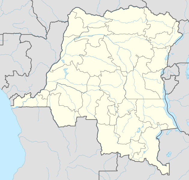
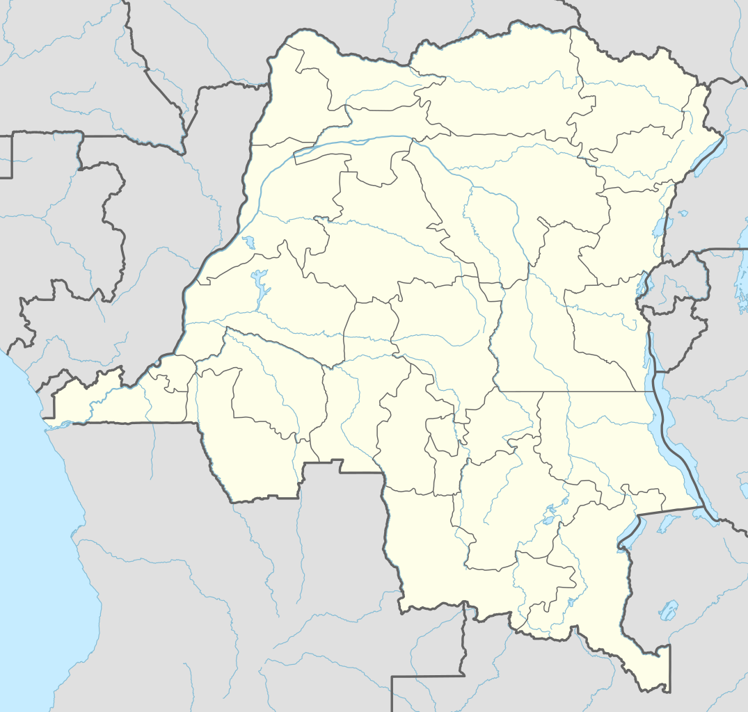
Deutsch: Positionskarte der Demokratischen Republik Kongo
English: Location map of the Democratic Republic of the Congo
|
||||||||||||
| Data | |||||||||||||
| Šaltinis |
Own work using:
|
||||||||||||
| Autorius | NordNordWest | ||||||||||||

|
This map has been made or improved in the German Kartenwerkstatt (Map Lab). You can propose maps to improve as well.
|
Licencija
Usage of this file with:

explanatory notes: Legally binding is only the full legalcode. For a free usage I recommend to respect the following licence conditions:
1. Provide my name as given above: NordNordWest,
2. a copy of, or the URI for, the applicable license: https://creativecommons.org/licenses/by-sa/3.0/de/legalcode,
3. the title of the work,
4. in the case of an adaptation, a credit identifying the use of the work in the adaptation.
This license and the rights granted hereunder will terminate automatically upon any breach by you of the terms of this license. Any of the above conditions can be waived if you get permission from the copyright holder. If you have questions or wish differing conditions, please contact me through nnwest or my discussion page ![]() t-online.de
t-online.de
- Jūs galite:
- dalintis – kopijuoti, platinti bei persiųsti šį darbą
- pri(si)taikyti – adaptuoti darbą
- Su šiomis sąlygomis:
- autoriaus nurodymas – Turite pateikti atitinkamą kreditą, pateikti nuorodą į licenciją ir nurodyti, ar buvo atlikti pakeitimai. Tai galite padaryti bet kokiu būdu, bet ne taip, kad licencijos išdavėjas patvirtintų jus ar jūsų naudojimą.
- dalinkis panašiai – Jei perdirbsite, redaguosite ar atkursite šį darbą, jį galėsite platinti tik su tokia pačia ar panašia į šią licencija.

Rinkmenos istorija
Paspauskite ant datos/laiko, kad pamatytumėte rinkmeną tokią, kokia ji buvo tuo metu.
| Data/Laikas | Miniatiūra | Matmenys | Naudotojas | Paaiškinimas | |
|---|---|---|---|---|---|
| dabartinis | 04:51, 15 lapkričio 2022 | | 1 240 × 1 181 (732 KiB) | SyntaxTerror | sorted in layers |
| 11:51, 16 vasario 2016 |  | 1 240 × 1 181 (692 KiB) | NordNordWest | corr | |
| 21:25, 15 vasario 2016 |  | 1 240 × 1 181 (691 KiB) | NordNordWest | == {{int:filedesc}} == {{Information |Description= {{de|1=Positionskarte der Demokratischen Republik Kongo}} {{en|1=Location map of the Democratic Republic of the Congo}} {{Location map series N |stretching=100 |top=6 |bottom=-14 |left=11 |right=32 }}... |
Paveikslėlio naudojimas
Paveikslėlis yra naudojamas šiuose puslapiuose:
- Banana
- Bandundu
- Boendė
- Boma
- Bukavu
- Bunija
- Buta
- Butembas
- Garambos nacionalinis parkas
- Gbadolitė
- Gemena
- Goma
- Ilebas
- Inongas
- Isiras
- Kabinda (Kongo DR)
- Kahuzi-Bjegos nacionalinis parkas
- Kalemijė
- Kamina
- Kananga
- Kengė
- Kikvitas
- Kindu
- Kinšasa
- Kipušis
- Kisanganis
- Kolvezis
- Likasis
- Lisala
- Lubumbašis
- Lusambas
- Matadis
- Mbandaka
- Mbuži Majis
- Mikenas
- Mvene Ditu
- Niragongas
- Njamuragira
- Okapijų laukinės gamtos rezervatas
- Salongos nacionalinis parkas
- Uvira
- Virungos nacionalinis parkas
- Čikapa
- Šablonas:City/Kongo Demokratinės Respublikos miestas
- Šablonas:Location map Kongo Demokratinė Respublika
Visuotinis rinkmenos naudojimas
Ši rinkmena naudojama šiose viki svetainėse:
- Naudojama ab.wikipedia.org
- Naudojama af.wikipedia.org
- Naudojama an.wikipedia.org
- Naudojama ast.wikipedia.org
- Naudojama azb.wikipedia.org
- Naudojama bn.wikipedia.org
Žiūrėti visuotinį šios rinkmenos naudojimą.