
Vaizdas:Ethiopia adm location map.svg

Didesnės raiškos iliustracija (SVG rinkmena, formaliai 1 843 × 1 494 taškų, rinkmenos dydis: 353 KiB)
| Ši byla yra iš bendros Wikimedia Commons nemokamų resursų duomenų bazės, palaikomos Wikimedia Foundation organizacijos. Norėdami sužinoti licencijavimo smulkmenas, žiūrėkite paveikslėlio aprašymą |  |
Į paveikslėlio aprašymą |
Aprašymas
| Aprašymas |
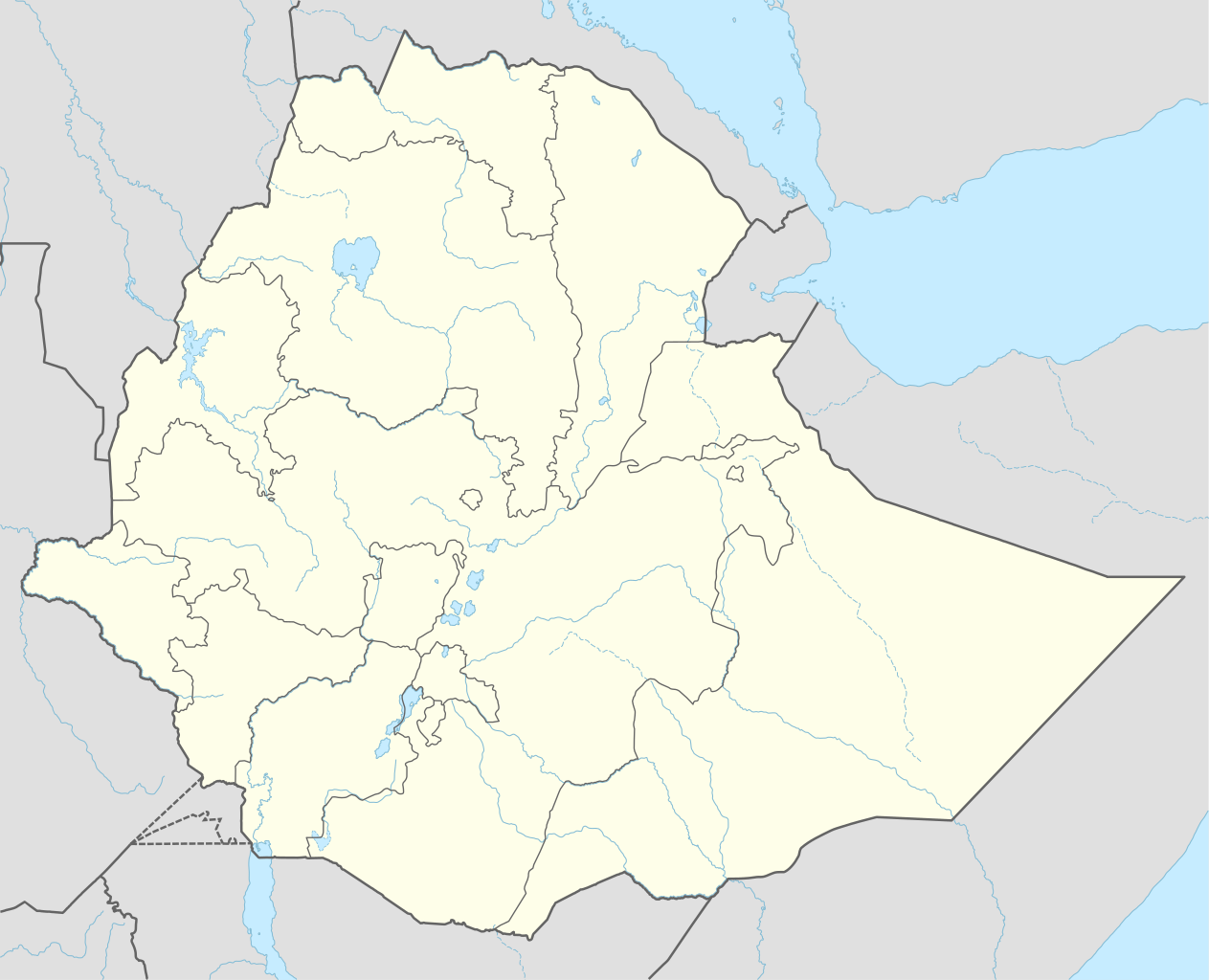
Deutsch: Positionskarte von Äthiopien
English: Location map of Ethiopia
|
||||||||||||
| Data | |||||||||||||
| Šaltinis |
Own work using:
|
||||||||||||
| Autorius | NordNordWest | ||||||||||||
| Kitos versijos |
|
||||||||||||
_location_map.svg)
_location_map.svg)
_location_map.svg)


|
This map has been made or improved in the German Kartenwerkstatt (Map Lab). You can propose maps to improve as well.
|
Licencija
Usage of this file with:

explanatory notes: Legally binding is only the full legalcode. For a free usage I recommend to respect the following licence conditions:
1. Provide my name as given above: NordNordWest,
2. a copy of, or the URI for, the applicable license: https://creativecommons.org/licenses/by-sa/3.0/de/legalcode,
3. the title of the work,
4. in the case of an adaptation, a credit identifying the use of the work in the adaptation.
This license and the rights granted hereunder will terminate automatically upon any breach by you of the terms of this license. Any of the above conditions can be waived if you get permission from the copyright holder. If you have questions or wish differing conditions, please contact me through nnwest or my discussion page ![]() t-online.de
t-online.de
- Jūs galite:
- dalintis – kopijuoti, platinti bei persiųsti šį darbą
- pri(si)taikyti – adaptuoti darbą
- Su šiomis sąlygomis:
- autoriaus nurodymas – Turite pateikti atitinkamą kreditą, pateikti nuorodą į licenciją ir nurodyti, ar buvo atlikti pakeitimai. Tai galite padaryti bet kokiu būdu, bet ne taip, kad licencijos išdavėjas patvirtintų jus ar jūsų naudojimą.
- dalinkis panašiai – Jei perdirbsite, redaguosite ar atkursite šį darbą, jį galėsite platinti tik su tokia pačia ar panašia į šią licencija.

Rinkmenos istorija
Paspauskite ant datos/laiko, kad pamatytumėte rinkmeną tokią, kokia ji buvo tuo metu.
| Data/Laikas | Miniatiūra | Matmenys | Naudotojas | Paaiškinimas | |
|---|---|---|---|---|---|
| dabartinis | 19:11, 11 rugsėjo 2023 | | 1 843 × 1 494 (353 KiB) | NordNordWest | upd 2023 |
| 02:12, 30 gruodžio 2021 |  | 1 843 × 1 494 (352 KiB) | NordNordWest | corr | |
| 04:59, 1 gruodžio 2021 |  | 1 843 × 1 494 (359 KiB) | Ue3lman | New South West Region | |
| 17:45, 13 spalio 2021 |  | 1 843 × 1 494 (349 KiB) | Gebagebo | Added dotted line to indicate Somaliland | |
| 12:09, 5 balandžio 2021 |  | 1 843 × 1 494 (345 KiB) | NordNordWest | . | |
| 12:41, 25 lapkričio 2020 |  | 1 843 × 1 494 (350 KiB) | NordNordWest | + Sidama | |
| 22:00, 27 birželio 2020 |  | 1 843 × 1 494 (350 KiB) | NordNordWest | upd | |
| 21:20, 25 kovo 2015 |  | 1 843 × 1 494 (344 KiB) | NordNordWest | == {{int:filedesc}} == {{Information |Description= {{de|1=Positionskarte von Äthiopien}} {{en|1=Location map of Ethiopia}} {{Location map series N |stretching=102 |top=15.3 |bottom=2.9 |left=32.7 |right=48.3 }} |Source={{Own using}} * United States Na... |
Paveikslėlio naudojimas
Paveikslėlis yra naudojamas šiuose puslapiuose:
- Adis Abeba
- Adva
- Afdera
- Akakis
- Aksumas
- Avasa
- Avašo nacionalinis parkas
- Bahir Daras
- Debre Birhanas
- Debre Markosas
- Debre Taboras
- Debre Zejitas
- Desė
- Diredava
- Džidžiga
- Erta Alė
- Fasil Gebis
- Gambela
- Gonderas
- Hararas
- Konsas
- Lalibela
- Mekelė
- Nazretas
- Nečisaro nacionalinis parkas
- Semera
- Simieno nacionalinis parkas
- Tija
- Šašamanė
- Šablonas:City/Etiopijos miestas
- Šablonas:Location map Etiopija
Visuotinis rinkmenos naudojimas
Ši rinkmena naudojama šiose viki svetainėse:
- Naudojama af.wikipedia.org
- Naudojama am.wikipedia.org
Žiūrėti visuotinį šios rinkmenos naudojimą.