Šablonas:Location map+/doc
|
|
Šį puslapį sudaro dokumentacija, kategorijos ir kita informacija, kuri nėra šablono dalis. Norėdami peržiūrėti patį šablono puslapį, žr. Šablonas:Location map+. |
The Template Location_map+ includes Template:Location_map and allows marking more than one point on a map, with specified markers and labels.
This template uses "Template:Location_map~" (repeatedly) to specify each point to be shown on the map, using the typical named latitude, longitude, mark, label, background and size parameters as with Template:Location_map.
Panaudojimas[redaguoti vikitekstą]
{{Location map+
|locname  (selected from various "Template:Location_map_<locname>")
|border     = color of the border or none
|alt        = alt text for map (see WP:ALT)
|caption    = caption to display beneath map
|float      = left or right or center or none,
              for alignment of map on page
|width      = width of map image displayed
|AlternativeMap = Alternative map file name (changes background map;
         edge coordinates are determined based on the map name);
         this is only recommended for use in templates
|places     = List of templates {{Location map~ ...}}, one for each
              marker/label to be shown on the map (see Example below).
}}
{{Location map~
|locname  (same, from various "Template:Location_map_<locname>")
|label      = label near this marker
|label_size = label size in percent (such as "78" percent)
|mark       = filename of this marker, default is "Red pog.svg"
|marksize   = marker size in px, default 8 (pixels wide/tall)
|alt        = alt text for marker; default is empty
|position   = left or right or top or bottom,
              default puts label on right side of marker
|background = background color of this label, default transparent
|lon_dir    = W for western longitudes, default E (East)
|lat_dir    = S for southern latitudes, default N (North)
|lat_deg    = 56 | lat_min = | lat_sec =   latitude degrees/min/sec
|lon_deg    = 16 | lon_min = | lon_sec =   longitude degrees/min/sec
|link       = article which clicking on the marker image takes you to;
              default is empty. If nonempty, alt should also be set.
|lat        = longitude (decimal, negative for western longitudes)
               (deprecated)
|long       = latitude (decimal, negative for southern latitudes)
               (deprecated)
}}
See also Location map.
Example[redaguoti vikitekstą]
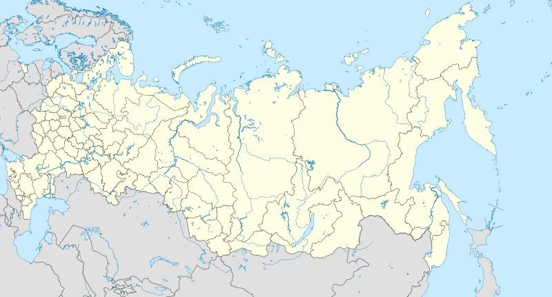
{{Location map+|Rusija 2|width=800|float=center
 |alt=Map of Russia and its subdivisions with several cities highlighted: Saint Petersburg, Moscow, Samara, Tomsk, Novosibirsk, Krasnoyarsk, Khabarovsk, and Vladivostok.
 |caption=some russian cities
 |places=
  {{Location map~|Rusija 2|lat_deg=48|lat_min=29|lon_deg=135|lon_min=04|position=left|background=#FFFFFF|label=Khabarovsk}}
  {{Location map~|Rusija 2|lat_deg=43|lat_min=07|lon_deg=131|lon_min=54|position=right|background=#FFFFFF|label=Vladivostok}}
  {{Location map~|Rusija 2|lat_deg=56|lat_min=00|lon_deg=92|lon_min=56|position=right|background=#FFFFFF|label=Krasnoyarsk}}
  {{Location map~|Rusija 2|lat_deg=56|lat_min=30|lon_deg=84|lon_min=58|position=left|background=#FFFFFF|label=Tomsk}}
  {{Location map~|Rusija 2|lat_deg=55|lat_min=02|lon_deg=82|lon_min=55|position=bottom|background=#FFFFFF|label=Novosibirsk}}
  {{Location map~|Rusija 2|lat_deg=53|lat_min=11|lon_deg=50|lon_min=07|position=right|background=#FFFFFF|label=Samara}}
  {{Location map~|Rusija 2|lat_deg=55|lat_min=45|lon_deg=37|lon_min=37|position=right|background=#FFFFFF|label=Moscow}}
  {{Location map~|Rusija 2|lat_deg=59|lat_min=57|lon_deg=30|lon_min=19|position=right|background=#FFFFFF|label=Saint Petersburg}}
}}
All Parameters[redaguoti vikitekstą]
|
|
Nuorodos[redaguoti vikitekstą]
- Template:Location map - placing one marker/label by latitude/longitude.
- Template:Location map many - placing multiple markers/labels.


